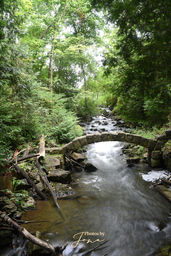
Limehouse Rapids
Media
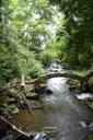
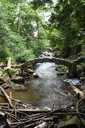
| Location | 79°58'35.173"W 43°38'12.692"N |
| Park | Limehouse Conservation Area |
| River | Black Creek |
| Form | Unknown |
| Flow | Year Round |
| Crest Restriction : Access | None : Easy |
| Foot Restriction : Access | None : Easy |
| Authority / Owner | Credit Valley Conservation |